Dublin Deliveroo Safety Map: Identifying Risk Areas for Riders
Identifying Risk Areas for Deliveroo Riders in the City!
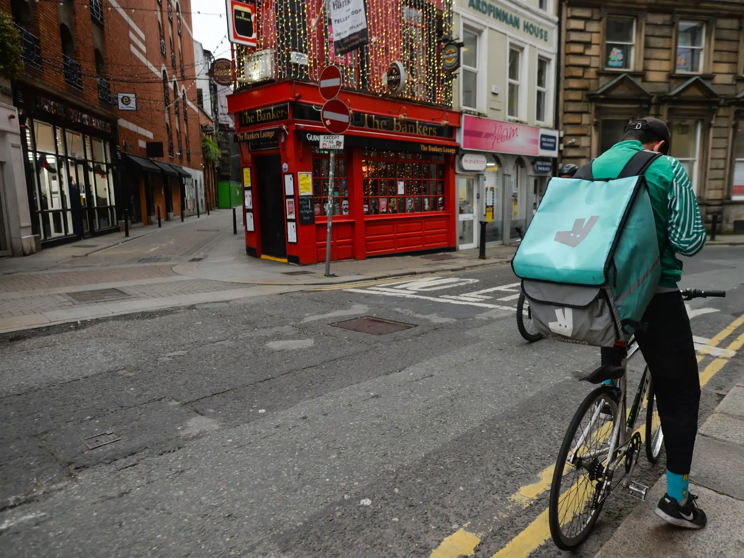
A map highlighting potential safety hazards for Deliveroo drivers in Dublin has gained renewed online attention. First created in 2021 by riders themselves, the “Áreas de Risco” (Risk Areas) map categorizes 22 areas across the city into low, medium, and high-risk zones.
(Also read Irish Acts Withdraw from SXSW in Protest to Ties To US Army.)
According to a report, the map emerged in response to a perceived rise in assaults and thefts targeting delivery riders in recent years.
Risk Areas For Deliveroo Riders As Per The Map
The map’s description reads, “risk areas described by couriers drivers, based on reported incidents and newspaper reports.”

Lower Risk Areas:
While the map identifies several areas of concern, it also highlights zones considered to be of lower risk for Deliveroo drivers. Parts of Dolphin’s Barn, apartments in Dublin 8, Cabra, Coolock, and Beaumont, Pearse Flats, the area around Talbot Street, Crumlin, Crumlin 2, and Temple Bar, a well-known tourist attraction, are allegedly among them.
Higher Risk Areas:
Some areas are flagged as posing a medium risk, including Dolphins Barn (excluding the previously mentioned section), East Wall, Inchicore, the area surrounding Wowburger on Parnell Street, and the vicinity of the Tesco Express on Pearse Street. Ringsend flats are also included in this category.
High-Risk Areas:
The map designates several areas as particularly high-risk for Deliveroo riders. These include Finglas, Ballymun, Ballyfermot, Clondalkin, Tallaght, the area surrounding Sheriff Street, and Bluebell.
Seeking Transparency and Safety
While the creators of the “Áreas de Risco” map remain anonymous, its reappearance online underscores ongoing concerns about rider safety. It’s important to note that the map is not an official Deliveroo resource, and the company has not commented on its accuracy.
However, it serves as a reminder of the potential risks faced by delivery personnel and the need for open communication between platforms, riders, and law enforcement to ensure their safety.
For a more detailed breakdown of the areas and the reasoning behind the categorizations, you can access the full map and accompanying information on Google Maps.
LATEST NEWS


