Met Éireann Weather Forecast Predicts Rainfall Across Ireland
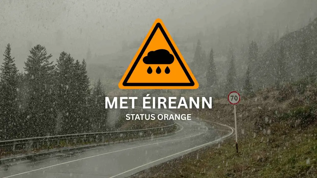
On July 21, 2025, Met Éireann issued an orange rainfall warning for Dublin, Meath, Louth, and Wicklow. The alert ran from midnight to 2 PM and followed a long stretch of heavy, unrelenting rain.
Flooding, poor visibility, and travel delays quickly became concerns. Met Éireann orange weather warnings are just below red, which signals that conditions were serious. The fact that it hit right as the workweek began made it even more disruptive.
How Much Rain Is Expected?
By midday Monday, several areas had already seen more rain than they typically get in an entire month. Phoenix Park recorded 48 mm, breaking its previous July record.
Dunsany in Meath saw nearly 60 mm, and Dundalk in Louth topped 60 mm. All of this fell in under 12 hours, overwhelming drains and soaking ground that was already saturated.

The orange warning was issued because of how intense the rainfall was expected to be. Forecasts predicted between 50 and 80 mm in parts of the east.
The storm was local but powerful, with most of the impact hitting east-facing slopes and built-up areas. In Dublin and its suburbs, drainage systems couldn’t keep up. Flood teams were placed on alert early.
What Areas Are Most at Risk?
Flooding hit several areas, mostly in low-lying or poorly drained parts of the city and surrounding counties. The locations most at risk included:
- Crumlin, Clontarf, and Drimnagh in Dublin
- The M50, especially between the Red Cow and Ballymun exits
- Drogheda and Dundalk in Louth
- Trim and Navan in Meath
- Bray, Greystones, and Arklow in Wicklow
Hospitals and care homes were given early warnings to prepare for flooding. Dublin Fire Brigade responded to dozens of emergency calls. Meath County Council installed pumps in areas like Trim and Duleek to manage rising water.
Wicklow faced additional warnings due to coastal flooding risks from high tides, especially near Greystones and Bray. This added to concerns for Dublin’s coastal roads and suburbs.
These flooding patterns aren’t new. Many of these places are known trouble spots during heavy rain, thanks to river overflow and already saturated ground.

How Is Northern Ireland Affected?
The heaviest warnings stayed south of the border, but the UK Met Office also issued a yellow rainfall alert for Down, Armagh, and Antrim.
These counties were expected to get between 50 and 75 mm of rain over 24 hours. It was less severe than the conditions in Dublin and the east, but still enough to activate local response teams.

In Armagh, crews dealt with minor flooding in underpasses and along riverbanks. Emergency services in Northern Ireland worked closely with teams in the Republic to manage the impact.
The difference in warning levels showed how uneven the storm was across the island. It also showed how important cross-border coordination is during extreme weather events.
What Does This Mean for You?
Safety updates rolled out quickly throughout the day. Commuters were urged to delay travel, work from home if possible, and avoid flooded streets.
Several schools in low-lying areas of Dublin and Meath pushed back opening times. Some businesses shifted to remote work or offered flexible hours to help staff stay safe.

Public transport wasn’t spared. Dublin Bus had to reroute services around the city centre. Irish Rail reported delays on commuter lines, especially between Drogheda and Connolly Station.
Emergency alerts warned drivers about standing water on motorways and poor visibility in places. The message was clear — slow down and leave extra space.
Councils moved fast to manage the situation:
- Dublin deployed drainage teams
- Louth distributed sandbags and shut down flooded roads
- Meath activated local response units
- Wicklow issued safety updates and road condition reports
The quick coordination between Met Éireann, the OPW, and local authorities helped keep things under control. Their response became a key story in the evening news.
Rainfall Records Broken
July 2025 is already shaping up to be the wettest on record for Eastern Ireland. Many weather stations have reported rainfall far above the monthly average.
In Dublin alone, totals are expected to pass 180 mm. That’s more than what fell during the major floods of 2008 and the summer storms of 2012.

Just weeks ago, the country was under heatwave warnings. Now it’s dealing with widespread flooding. The sudden shift shows how unpredictable Irish weather has become.
These changes point to a growing need for stronger infrastructure and better public readiness as extreme patterns become more common.
What to Expect Next?
The movement of the rain eastwards into the Irish Sea has resulted in the forecast showing slight signs of temporary relief. Tuesday was expected to bring dry conditions with scattered showers in the southeast.
The temperatures would range from 15°C to 19°C in what would give people a chance to cool off in the aftermath of the storm.

Wednesday and Thursday were expected to stay mostly dry, though there was a chance of thunderstorms returning on Friday and again Sunday. Coastal areas could see winds reaching up to 40 km/h, and early morning mist may keep visibility low.
No new orange warning has been issued so far, but Met Éireann teams are still watching the system closely.
Safety Tips During Heavy Rain
If heavy rain is expected in your area, here are some simple ways to stay safe:
- Avoid driving through floodwater. Even shallow water can stall your car.
- Keep your phone charged so you don’t miss emergency alerts.
- Clear drains and gutters around your home to help water flow.
- Follow updates from Met Éireann and your local council.
- Move valuables to higher ground if your home is at risk of flooding.
- Stay away from rivers, canals, and underpasses during heavy rain.
10-Day Weather Forecast for Dublin (Ireland)
Met Éireann Weather Outlook | July 25–August 3, 2025
| Date | Weather | Temperature (°C) | Rain Risk | Wind |
| July 25 (Fri) | Cloudy with scattered showers | 16 / 12 | 70% | SW 30 km/h |
| July 26 (Sat) | Light rain turning to drizzle | 17 / 13 | 80% | SW 28 km/h |
| July 27 (Sun) | Partly cloudy, humid | 18 / 14 | 40% | S 22 km/h |
| July 28 (Mon) | Heavy rain, possible thunder | 15 / 12 | 90% | W 35 km/h |
| July 29 (Tue) | Dry with sunny spells | 19 / 13 | 10% | NW 18 km/h |
| July 30 (Wed) | Overcast, mild | 17 / 13 | 50% | W 20 km/h |
| July 31 (Thu) | Light rain, misty morning | 18 / 14 | 60% | SW 25 km/h |
| Aug 1 (Fri) | Thunderstorm risk by evening | 16 / 12 | 85% | SE 30 km/h |
| Aug 2 (Sat) | Dry start, light drizzle late | 19 / 13 | 40% | S 20 km/h |
| Aug 3 (Sun) | Mixed sun and cloud | 20 / 14 | 20% | W 18 km/h |
Concluding Thoughts
Weather in Ireland can change fast, and this warning proves it. If you are planning to travel or spend time outdoors, check the 10-day forecast and follow local alerts.
Staying informed helps protect you, your family, and your property, especially as weather patterns become harder to predict.


