
Beara Way hiking guide | The route everyone gets wrong
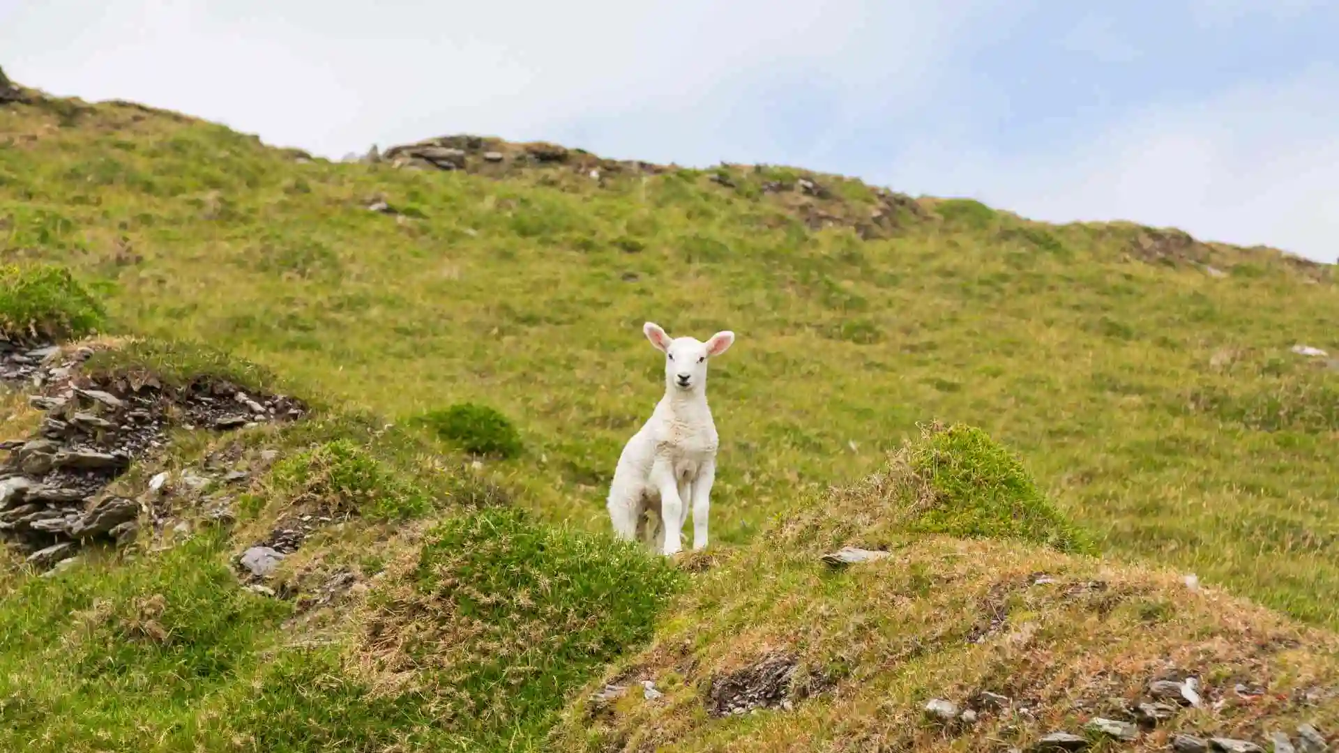
Every great adventure begins with a single step. Imagine yourself standing on a rocky section of the Atlantic coast with the mountains towards the cliff over a deep blue ocean and no other sound than the wind and the sheep’s bleating.
It is likely that if you are planning your next great Irish adventure, you have encountered conflicting information about the distance of this walk, where it divides and how to plan your nights.
This detailed guide will tell you the exact measurements of the Beara Way, the ‘figure-8’ nature of the way and how it is divided into segments, and what to expect locally when crossing.
Quick trail details
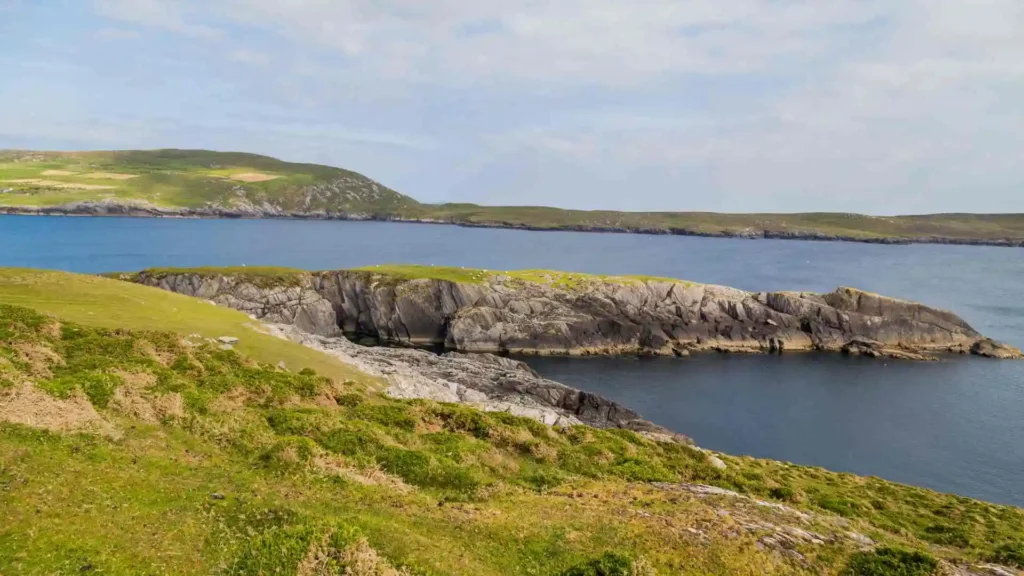
The Beara Peninsula cuts across the beautiful County Cork/County Kerry border in the southwest corner of Ireland. It is one of the most scenic and one of the country’s best national waymarked trails and provides some of the most striking views of the coast along the famed Wild Atlantic Way.
| Metric | Official Specification |
| Official Distance | 241.8 km (Full Loop) |
| Total Ascent | 5,245 metres |
| Difficulty Grade | Strenuous |
| Estimated Time | 9 to 11 days |
This trail is listed as a single massive Figure-8 route at the official tourist sites. The trail does, of course, pass over itself in the middle, around Miskish Mountain. This makes the figure-eight pattern flexible, allowing for the isolation of either a shorter western loop or an eastern loop that’s about 150 km, if time is short.
Mapping the journey
It is important to be aware of the changing terrain when planning your days on the trail. The trail is always on mountain trails, then coastal trails, and then country trails, all at sea level.
Leg 1: Kenmare to Lauragh & Eyeries
Usually it is from the beautiful town of Kenmare and travels westward through the more remote west of the peninsula.
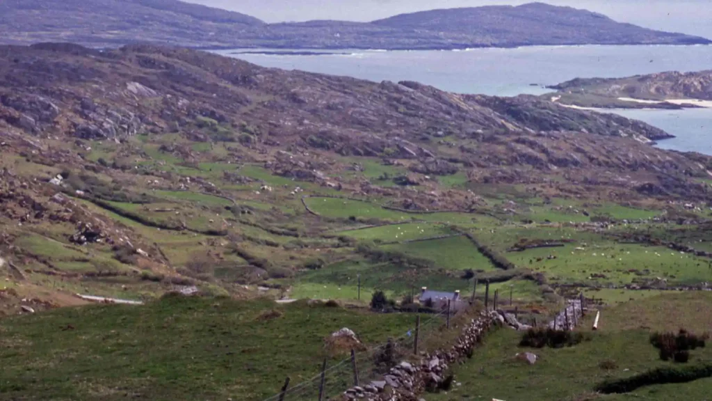
When you head outside of the town, you’ll have the first few kilometres on small tarmac roads and narrow winding grassy country lanes in Ireland, known as boreens. It then drops onto open mountain tracks, climbing up over the hills towards Lauragh.
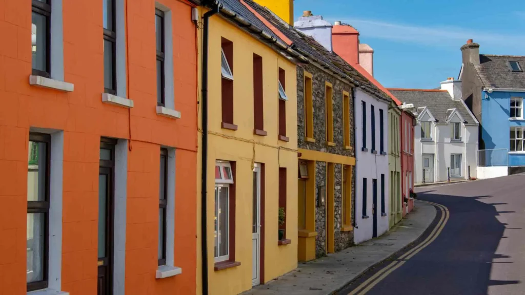
From Lauragh, the trail winds through the ruins of the archaeological site of Ardgroom and then follows beautiful coastal trails. Your goal is the rose-coloured, vibrantly painted houses of the famous psychedelic village of Eyeries.
Leg 2: Eyeries to Castletownbere and Adrigole
The figure-eight loop meets in this area of the peninsula.
The path from Eyeries climbs the valley between Miskish Mountain and Knockoura. Independent walkers have a choice: east on the mountain pass or head straight south towards the copper mining village of Allihies.
The direct mountain track offers an amazing view of the busy harbour town of Castletownbere from the top of the ridge. The path continues east through lower slopes of Hungry Hill, crossing rocky, exposed ground which requires good boots.
Leg 3: Adrigole to Glengarriff and Dursey Island Spur
It is a 25.3 km, 1-day hike. The last few sections take you through impressive mountain passes and the historic forests.
Adrigole is the starting point for the hike, which will take you over 500 m to near the top of Nareera, where you will be able to see all the way down the coast between the Sugarloaf Mountains. The trail then descends into the peaceful woods and nature trails of Glengarriff.
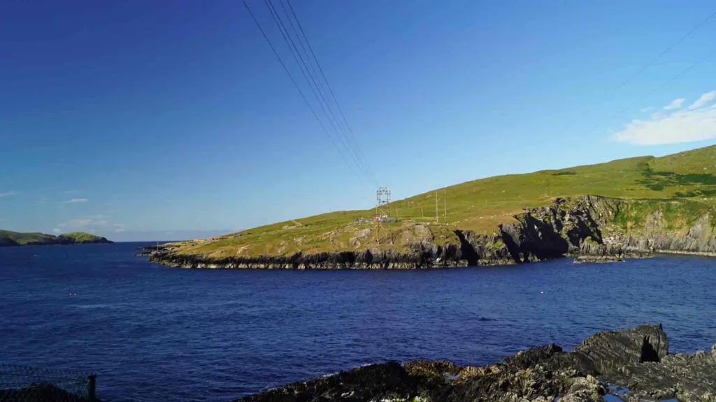
Dursey Island Spur: If you opt to follow the western loop to its extreme end, you’ll reach Dursey Sound. It is here that you can embark on the unique Irish “cable car” crossing to Dursey Island.
Just remember that logistics on the farm is the most important aspect of the cable car, and when you get on, you may be seated with a sheep!
Crucial tips from the locals and backpackers
On this untamed peninsula, preparation is the key. Weather can change in minutes, suddenly causing a thick blanket of cloud to cover the hills.
Accommodation Alert: Don’t take bets on open beds. There are often seasonal and local accommodation providers like rural guesthouses and hostels that often change owners. It’s a must to book in advance for your indoor accommodations.
Camping Realities: In Creveen Lodge and Hungry Hill there are organised campsites with excellent facilities and hot showers. When you’re planning wild camping, make sure that your gear can handle the Atlantic storms and high winds.
Planning your trip
It all depends on how you enjoy travelling to experience the trail
You can download community-created maps of the trails from the Internet for free and use them independently. With this feature you can completely customise your distance per day and camp out under the stars any day you want.
Alternatively, you can hire guided walks with your local tour operators if you don’t want to carry your own heavy backpack. These packages typically include B&B accommodation, detailed route notes, and transfers each day, this way you only need a light daypack.
Leave no trace on the trail
The great beauty of the peninsula depends completely on the care of the walkers who visit the peninsula.
Pack out everything you pack in, leave nothing behind on the mountainside. Much of the trail crosses active private farmland, so respect property boundaries, close all gates behind you and keep a safe distance from livestock.