
Benbulben Forest Walk | The best views of Table Mountain
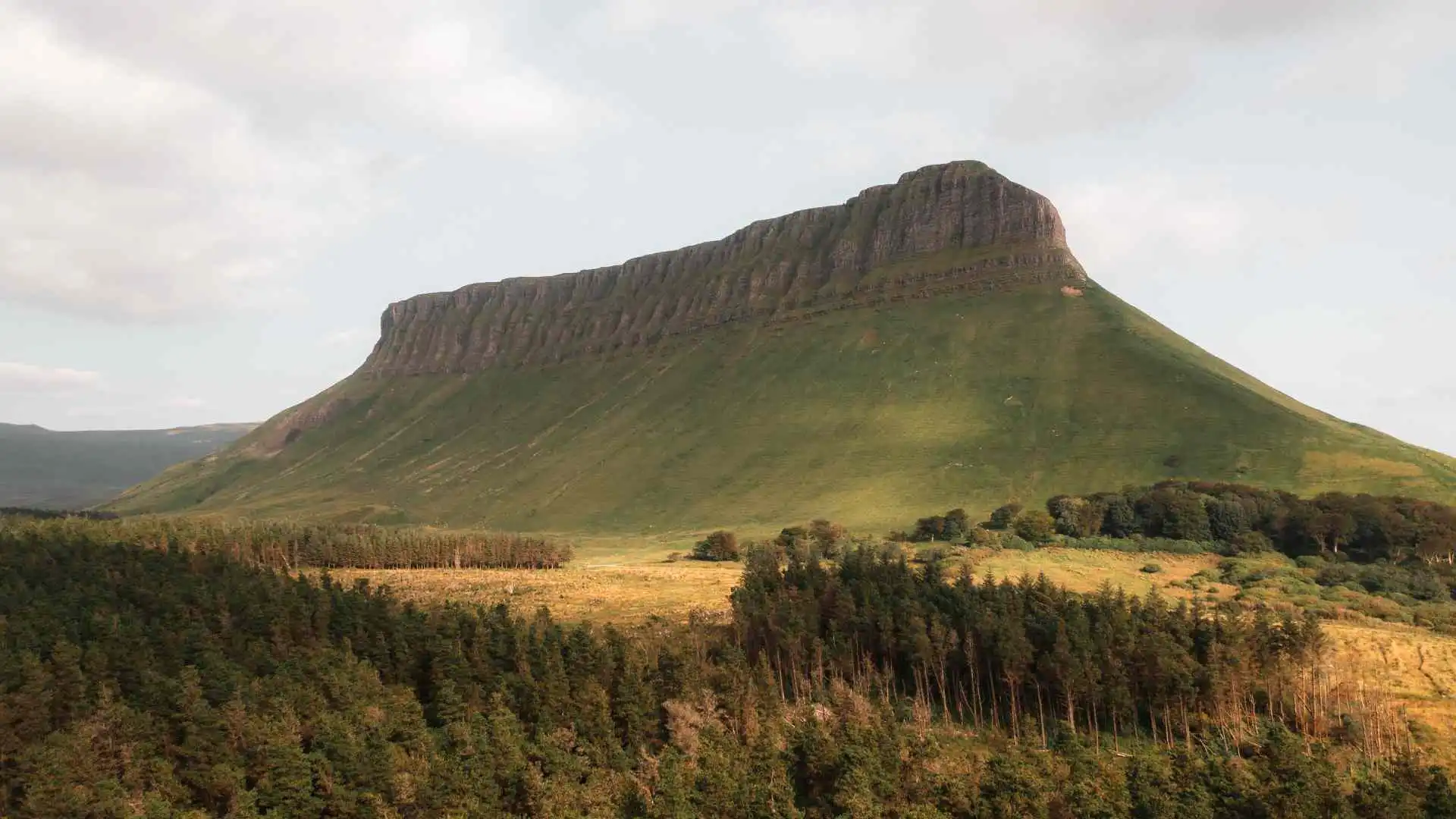
The striking flat-topped shape of Ireland’s Table Mountain is always visible, no matter where you are in County Sligo.
The Benbulben Forest Walk is ideal if you’re keen to see this stunning scenery up close but are not ready for the strenuous vertical ascent of the Benbulben mountain.
This article includes exact route breakdowns, parking information and additional insights into hidden accessibility and the area’s history.
Benbulben: Ireland’s table mountain
This spectacular rock formation is part of the Dartry Mountain range, sculpted over 300 million years ago. The glaciers of the last ice age gouged out the deep valleys and limestone cliffs that we see today.
The steep northern side of the mountain is completely impassable. However, the mountain can be climbed via a steep, pathless trail on the south side. To get the best view of its dramatic, ribbed flanks, however, enjoy a relaxing day out by skirting the base through the forest.
The Benbulben Forest Walk
The main loop is a lovely trail, well-maintained by Coillte, the Irish forestry board. It has a unique combination of a thick forest canopy, open mountain views and expansive sea vistas.
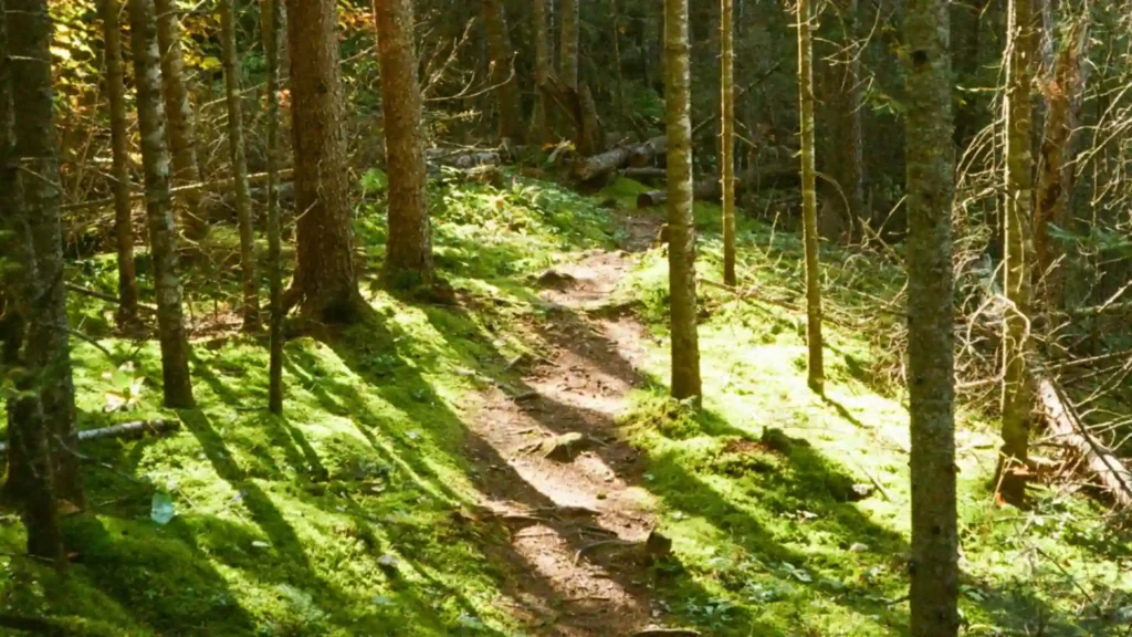
Red arrows mark the entire loop, so even if the Atlantic mist rolls in, it’s easy to navigate.
1. Walking clockwise vs counterclockwise
The way you see the scenery is entirely different depending on which direction you choose. The walk is strongly recommended clockwise, as the first section has a very gentle gradient, while the most spectacular part of the entire walk is the section leading directly towards the imposing mountain cliffs.
If you opt for the anticlockwise route, the first half of the hike is somewhat level, and the vast picturesque mountains are directly behind you for the second half.
2. There are two car parks
The trail is very popular and parking may be extremely competitive on sunny weekends. The well-established main car park is off the N15 road along a narrow rural lane.
Just a little further on, the new Gortarowey Forest Car Park makes an ideal alternative trailhead and gets you much nearer to the historic ruins on the loop.
3. How long it takes
Most walkers will take about 1.5 hours to walk the entire 5.5 km loop at a leisurely pace.
Take some extra time (around 30 extra minutes) to stop at the viewing nooks, take photos of the plants, or have a picnic.
4. Difficulty level
This trail is classified as an easy-level trail. The total rise is less than 50 m, as the walk is not up the peak but around the flat base.
It is easy to moderate in difficulty and is suited to family outings, strolling and trail running.
Benbulben hike map and trail overview
It is useful to see the trail as it moves between thick woods and the open ocean before setting out.
Starting the walk
From either of the trailheads, you are immediately enveloped by the quiet and sheltered forest trail. There is a wide, level track underfoot that is well-surfaced and packed tightly with gravel making you very unlikely to slip and twist your ankle.
The ‘ah-ha’ moment
The beauty reveals itself in the gap in the tree canopy. The vista stretches out towards the incredible north face of the mountain, which is nearby, and the coast of Sligo to the left.
Benbulben rises above you
The sheer cliffs of limestone appear to rise with each step you take as you continue along the trail. The trail is lined with colourful blooming rhododendron bushes in the early summer, adding splashes of colour to the deep green mountain slopes.
Continue towards the main car park
Proceed towards the main car park to the left. The path opens onto a lovely level stretch that runs parallel to the mountain’s base. On a clear afternoon, the sun casts light across the deep ridges on the rock face, highlighting the textures along the way.
Cashelbaun and back to the car
The small spur trail at the end of the loop is overlooked by many walkers and the interesting history of Cashelbaun is missed. This is an early medieval stone ringfort (dating between AD 400 and 1100).
It was not a military castle but a fortified farmstead, where a high-status local clan resided, constructed to guard their valuable stock from cattle-raiding clans at night.
Is Benbulben Forest Walk easy?
The main loop is easy but has a number of traditional kissing gates that are built to exclude livestock but can also prevent access for wider motorised mobility scooters or double-wide strollers.
However, there is a special 250 m multi-access path that starts from the main car park without going through these gates and leads to a completely even and unobstructed viewing platform.
Our thoughts on hiking the Benbulben Forest Walk
Hiking this trail will give you a good understanding of the unique microclimate in the west of Ireland. The air is refreshingly fresh, with the fragrance of rich pine, soil and Atlantic sea air.
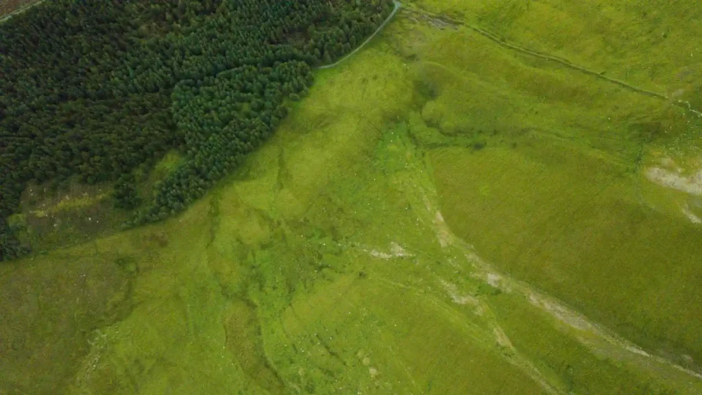
There is also some ongoing environmental management along the way; forestry workers are diligently clearing invasive rhododendrons to allow native Irish oaks and ferns to take over the woodland floor.
Mountain, forest, and coastal views
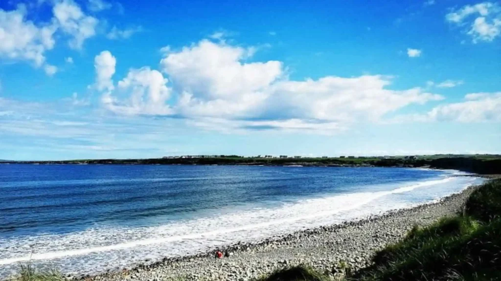
The rapid changes in the landscapes make this walk so special. Look to the right and you’re looking at huge rock faces, look to the left and the horizon reveals the blue waters of Donegal Bay.
On very clear days, the views are uninterrupted and extend across the water to the distant outlines of the Slieve League Cliffs in Donegal.
Drumcliffe Village: The grave of W.B. Yeats.
The area is steeped in literary history and is a must-visit for any literature lover. The mountain and the surrounding countryside are lovingly called “Yeats Country.”
The historic village of Drumcliffe is only 4 km from the trailhead, and here the influence of the landscape on Irish art is complete.
Under Ben Bulben
The folklore and presence of this plateau inspired the great poet W.B. Yeats to the extent that it became the main theme of some of his last poetry.
In his well-known poem, Under Ben Bulben, he specifically requested that his grave be located in the Drumcliffe churchyard, directly under the ever-present shadow of the mountain.
Things to do nearby
The forest walk can be combined with a number of amazing places within a 15-minute drive. Glencar Waterfall is another beautiful waterfall located in a nearby wooded valley and was the source of inspiration for Yeats’ poetry.
For those who don’t mind getting a bit wet, visit the tallest waterfall in Ireland, the Devil’s Chimney, or take a scenic drive through the spectacular glacial valley of the Gleniff Horseshoe Drive.
Further exploring
When you’ve completed the loop and are in need of a more demanding physical test, then the classic Benbulben Summit Hike is the obvious next step.
Then head down to the colourful seaside village of Strandhill for a much needed cup of coffee or a hot lunch, just steps from the ocean surf.
Don’t forget travel insurance
For everyone, whether you’re a local heading out for a weekend stroll or an international tourist checking a bucket list trip off your list, safety should always be your first priority.
Be sure your travel insurance covers the basic outdoor activities and minor emergency medical assistance included in your holiday or travel insurance, you can’t be too prepared before starting the trail.